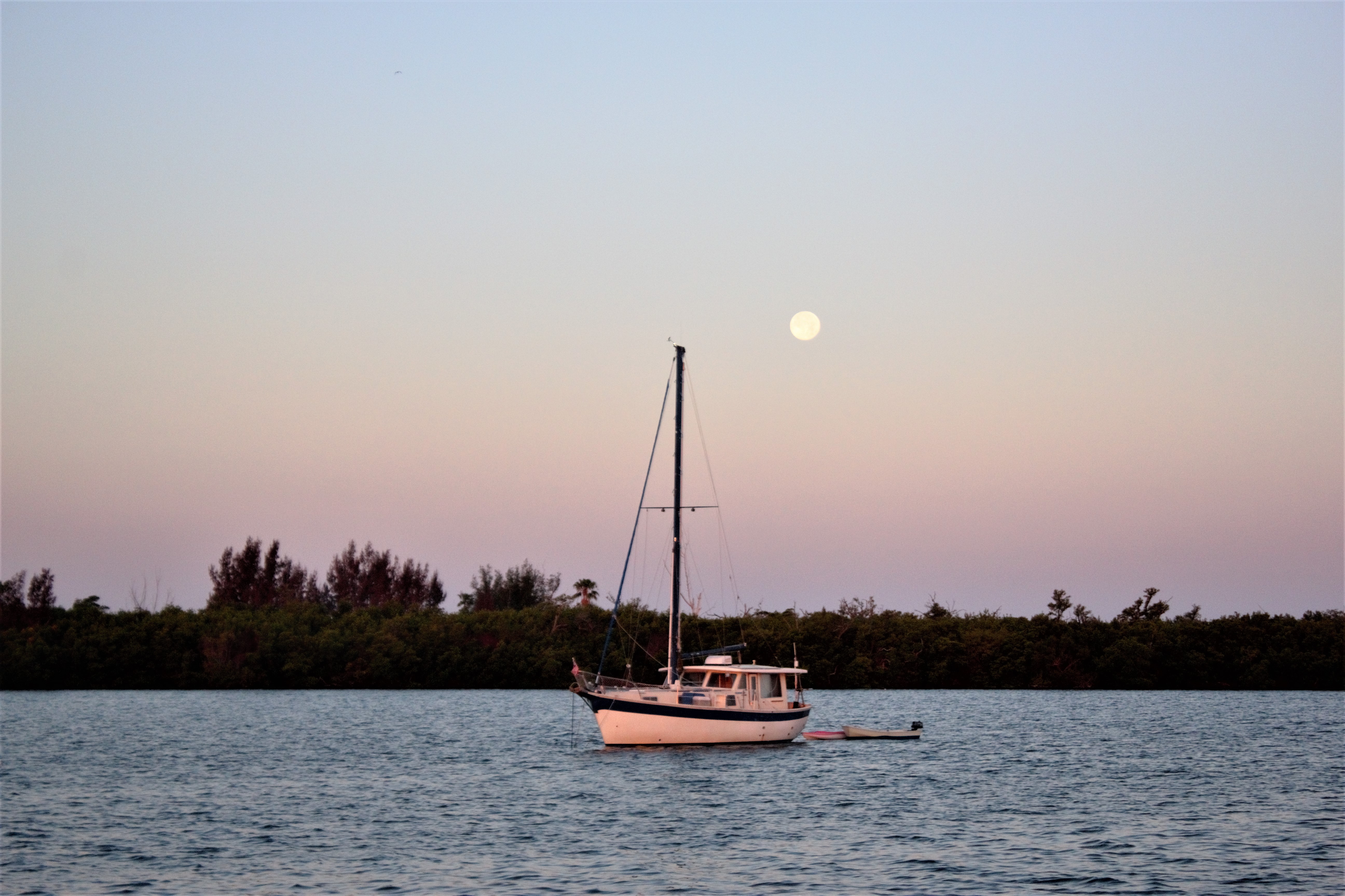
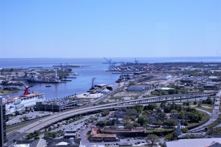
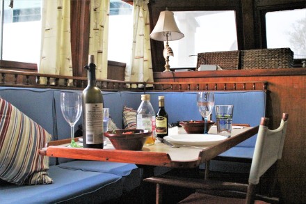
The upside of not being able to get all the way to Mobile as we had planned, was not only that Ian could make a new door for Carina, but we also had time to go to Natchez, the oldest town on the Mississippi River, and drive along part of the Natchez Trace Parkway, a designated scenic route. Fred and Kim at Demopolis Yacht Basin had very kindly let us use the apartment in the marina shower and laundry block, which made the last few days much easier, and warmer. It was still very cold and Carina isn’t at all well insulated.

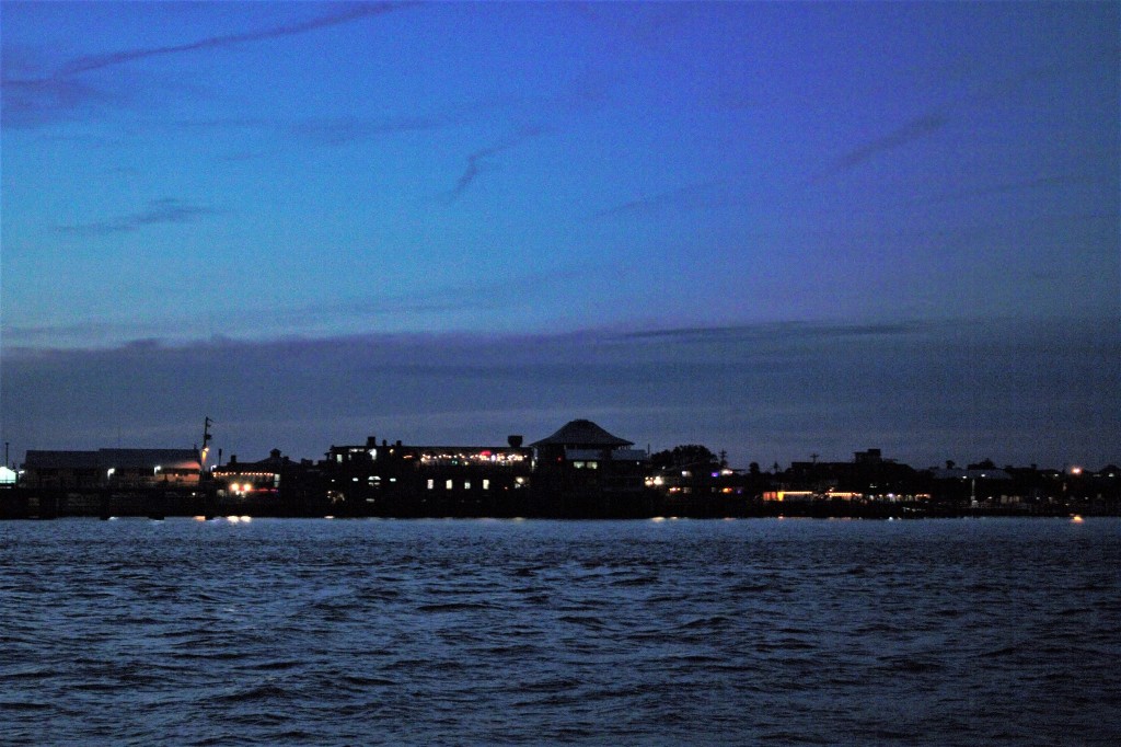
Demopolis Yacht Basin – the fuel dock at night
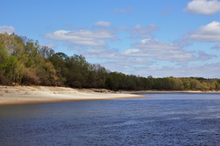
The beam from a tow can just be seen on the left of this photo.

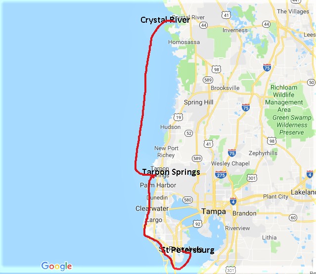
Demopolis to New Orleans via Natchez and the Natchez Trace
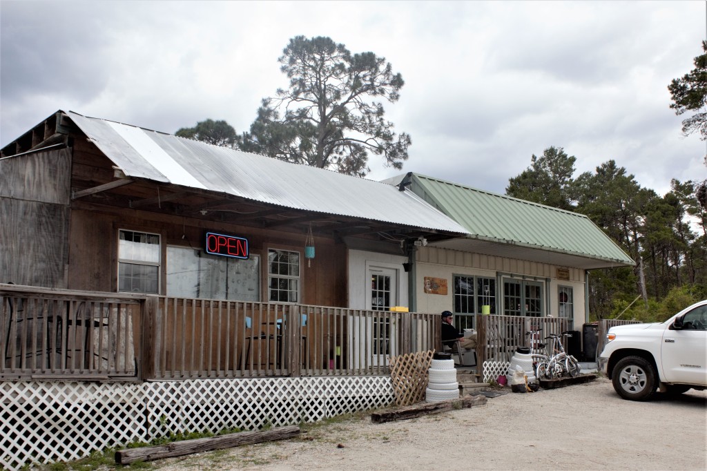
It took us rather longer than we had anticipated on our last morning, to get all the little jobs done and it was lunchtime by the time we’d finished. So we had lunch at Smokin’ Jack’s BBQ restaurant on the outskirts of Demopolis. It was the day after Thanksgiving, which had been quite a strange day for us, being on the outside looking in, with everywhere quiet and most shops closed for at least one day, and many for two. We hadn’t realised that there was a potluck Thanksgiving Lunch going on over at Kingfisher Marina and we were sorry to have missed it.
Smokin’ Jack’s was quite busy with local families eating out. People in Alabama seem super-friendly. Everyone smiled and nodded to us as they came in and went out, as if we were regulars and they saw us in there every week.
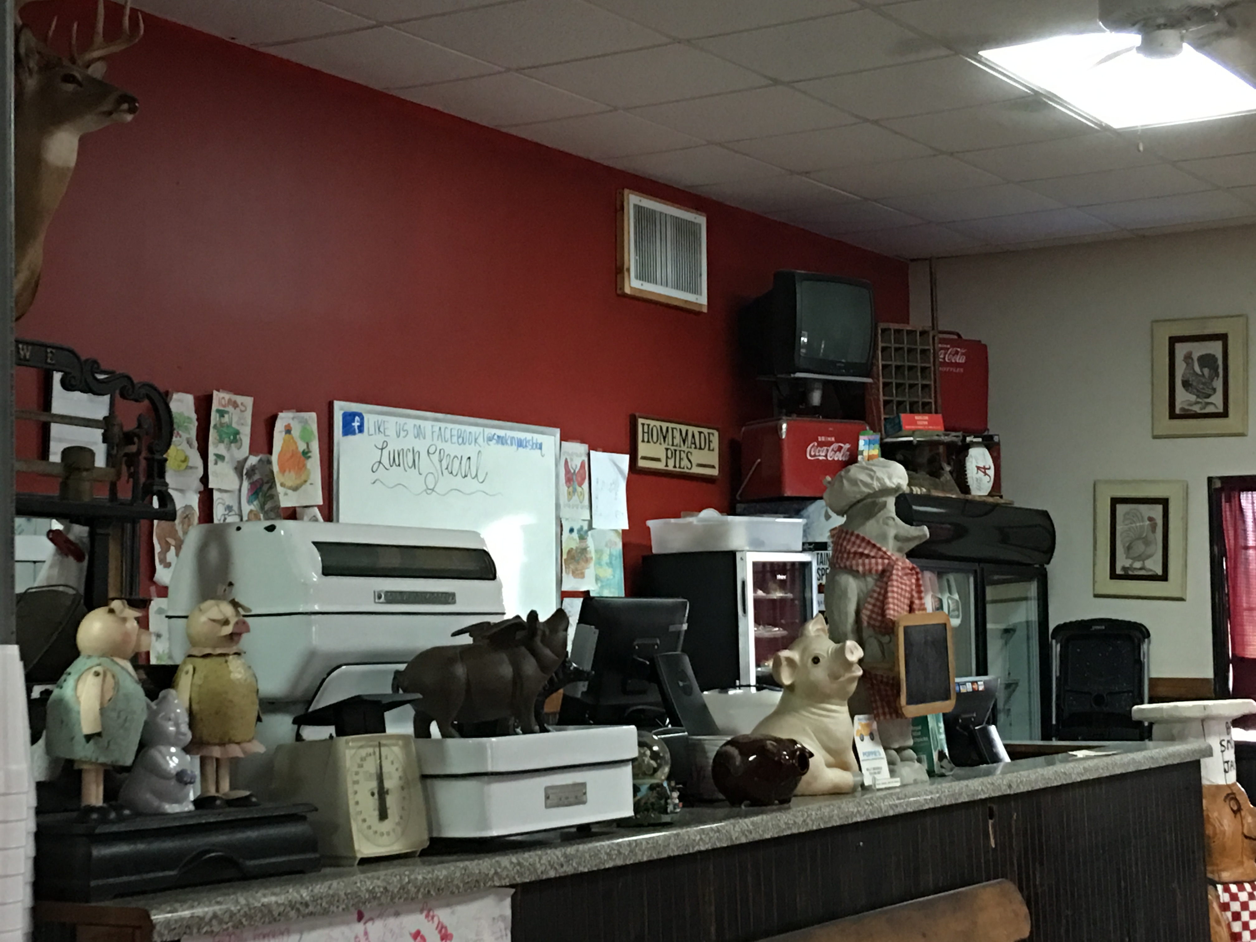
Smokin Jack’s BBQ, Demopolis
It was perhaps unsurprising that a BBQ restaurant should have an assortment of ornamental pigs on display on the counter.

Smokin Jack’s BBQ, Demopolis
They had a Coca-cola thing going on too.
The Natchez Trace is an ancient trail which was used for hundreds of years by Native Americans. It links Natchez, on the Mississippi River, with Nashville, on the Cumberland River. Now, there is a 444-mile road, the Natchez Trace Parkway, as well as a walking and cycling trail which follow the historic route.
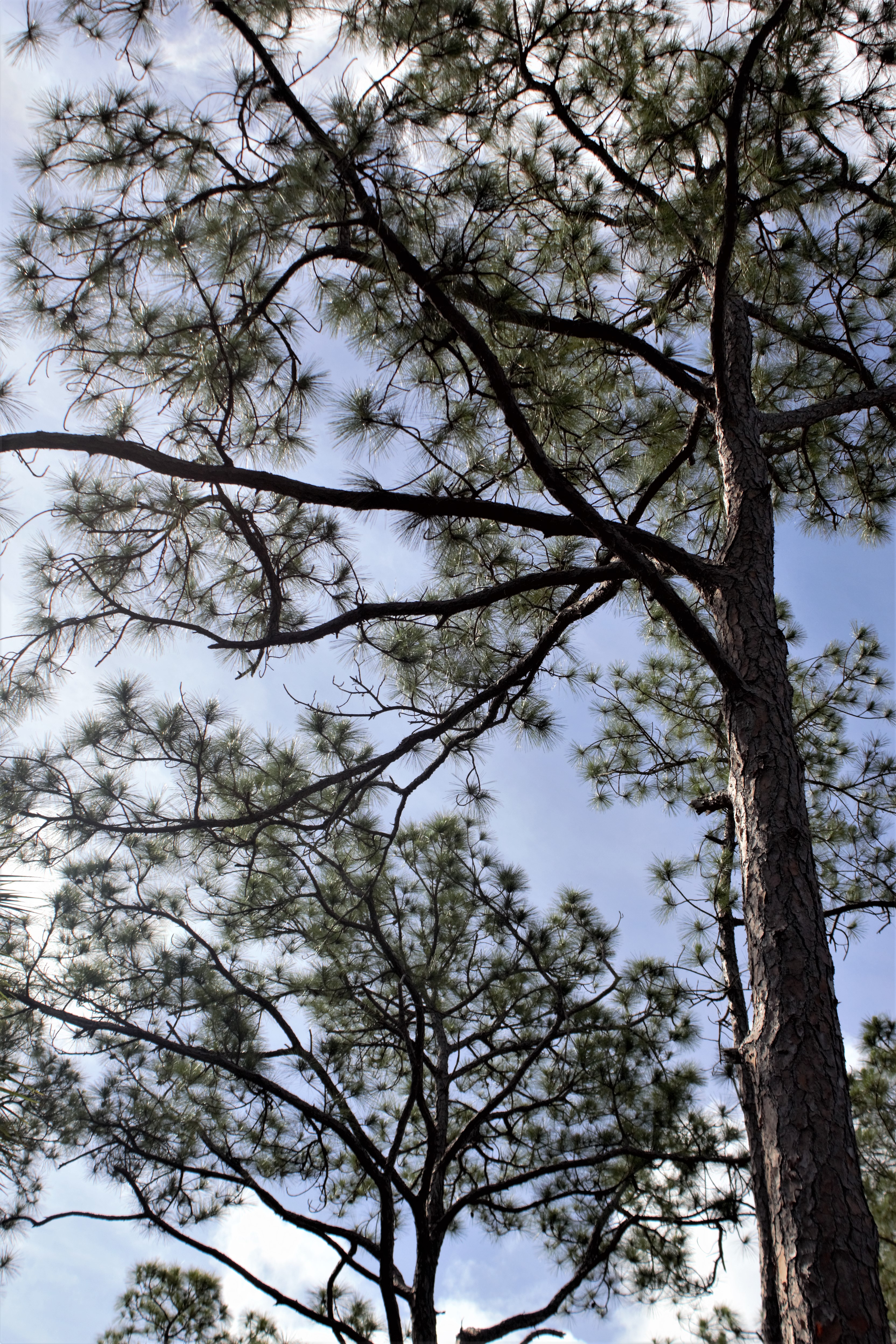
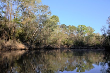
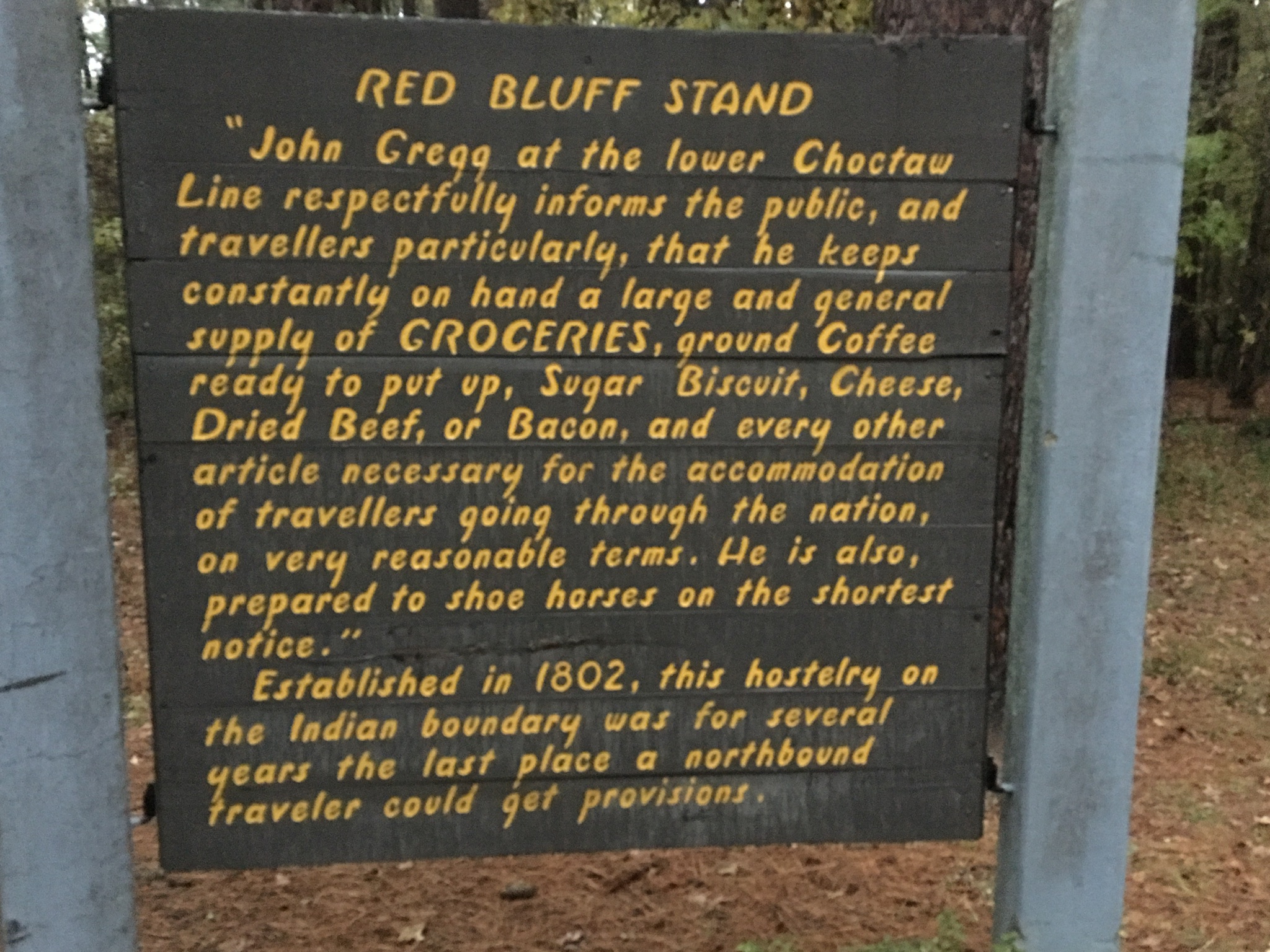
Driving along the Trace, a tree-lined single carriageway road with little traffic, was a completely different experience from driving on the multi-lane Interstate. But the weather hadn’t finished with us. It had been cold, but sunny, for the last few days, but half an hour after leaving Smokin Jack’s, we found ourselves in a torrential rainstorm and wondering what we should do if we saw a tornado coming. But we were worrying unnecessarily, and the rain eased off as we reached the rest area at Lower Choctaw Boundary, established in 1765 to mark the eastern limits of the old Natchez District. It was also the site of John Gregg’s Provisions store, which supplied travellers going north to Tennessee.

Natchez Trace at Lower Choctaw Boundary
We stayed in the Grand Hotel in Natchez, situated on a bluff high above the Mississippi River. We didn’t have far to go for dinner, as the hotel was next door to Bowie’s, a bar and restaurant where there was a benefit gig for a local man who had been injured while felling a tree. The band were good and we even had a dance, but the noise levels were a bit of a challenge to our elderly ears.

At Bowie’s
The next day we wandered along the river front and through the town.

Old Cotton Warehouse, now Bowie’s Tavern

The start of the Natchez Trace
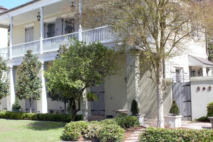
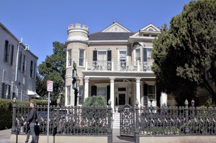
Natchez has more than 1000 antebellum houses, more than any other town in Mississippi.

Rosalie Mansion
The first European settlement in Natchez was Fort Rosalie, founded by the French in 1716 and named after the Countess of Pontchartrain. The mansion was built next to the fort, on the bluff overlooking the river, by Peter Little in 1821 .

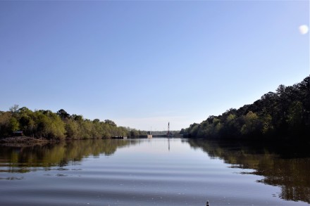
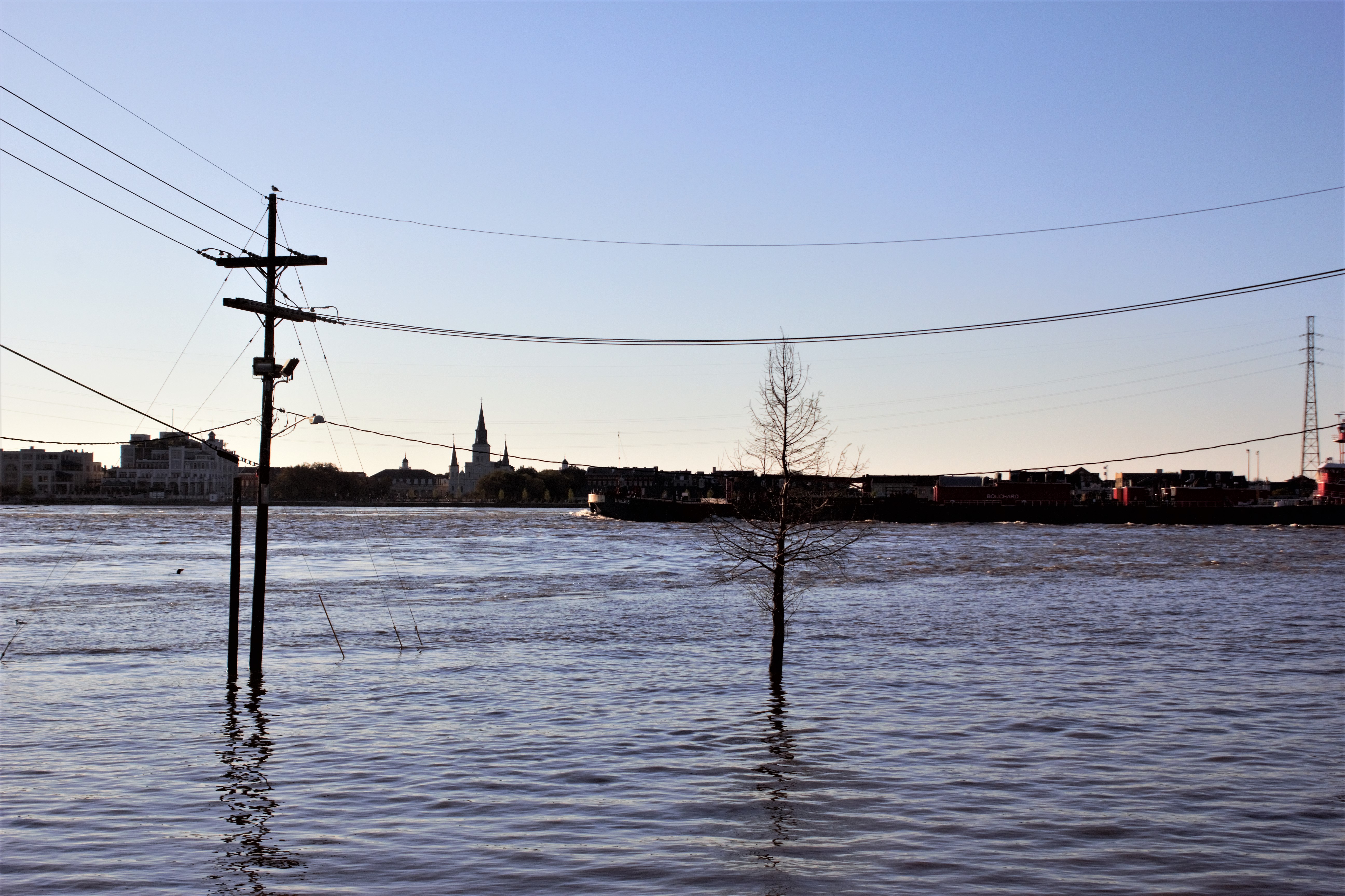
The Mississippi River at Natchez, looking north
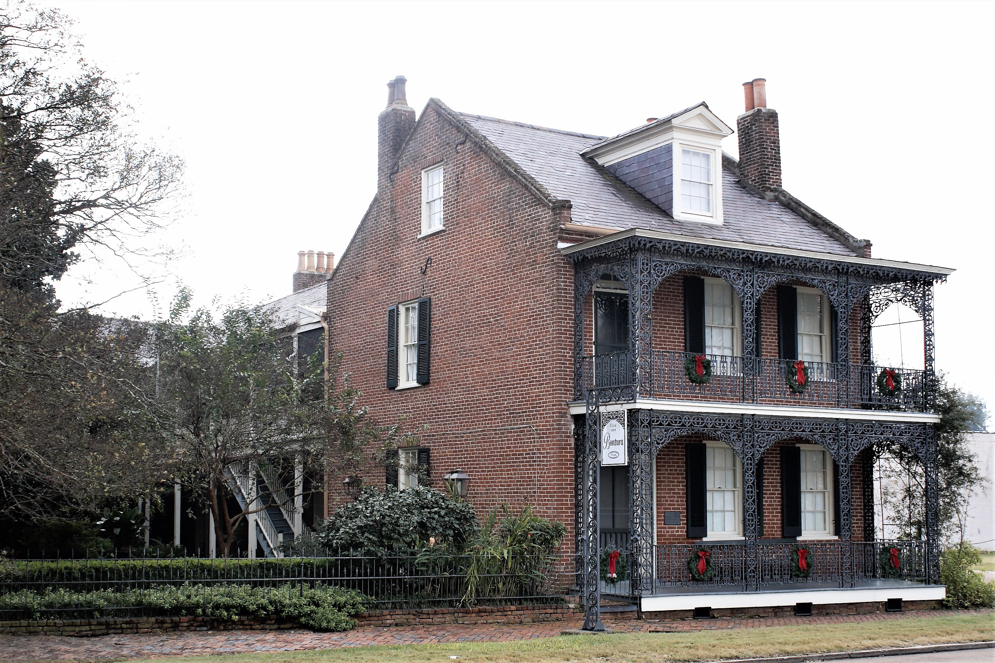
Smith-Bontura-Evans House
This house was built by Robert D. Smith, a free African American, as his residence and to house his carriage and transport business.

Parsonage
The Parsonage was also built by Peter Little, for his wife to use when entertaining visiting Methodist preachers.

Uptown Grocery
But even Natchez had its failed businesses.

Old South Trading Post still going strong

Merchandise on offer at Old South Trading Post

Texada, the oldest brick house in Mississippi Territory and the oldest Capitol Building in the State of Mississippi

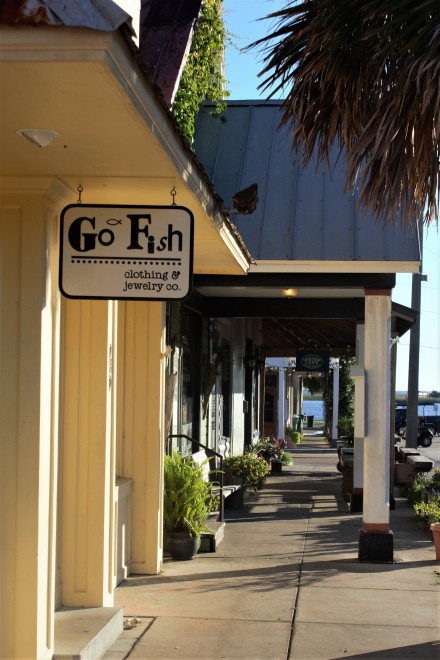
The Natchez Coffee Co

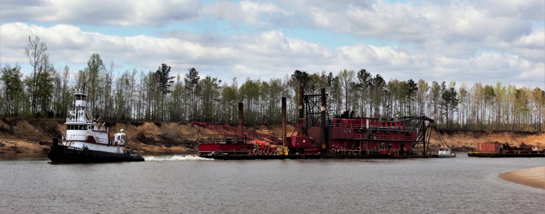
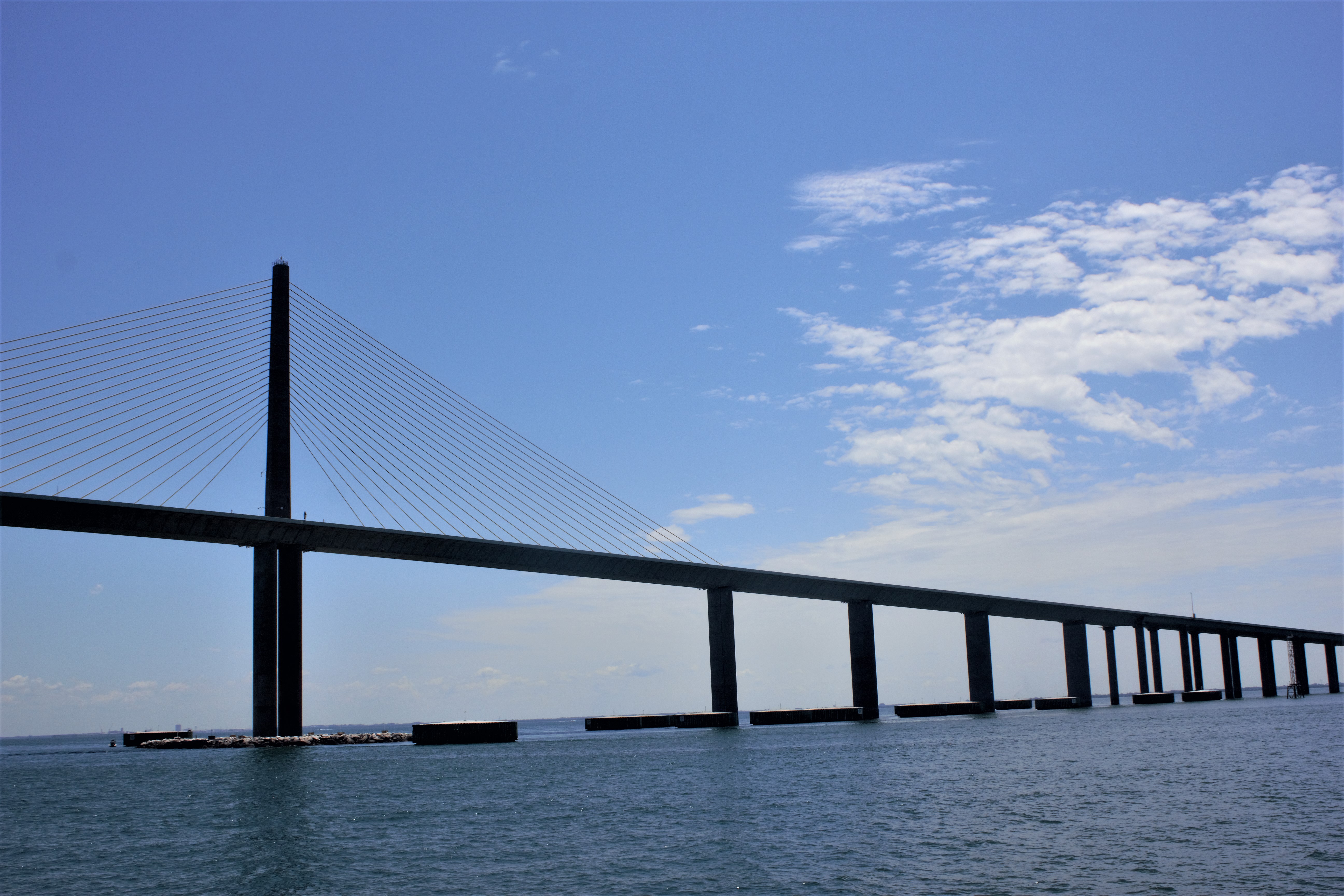
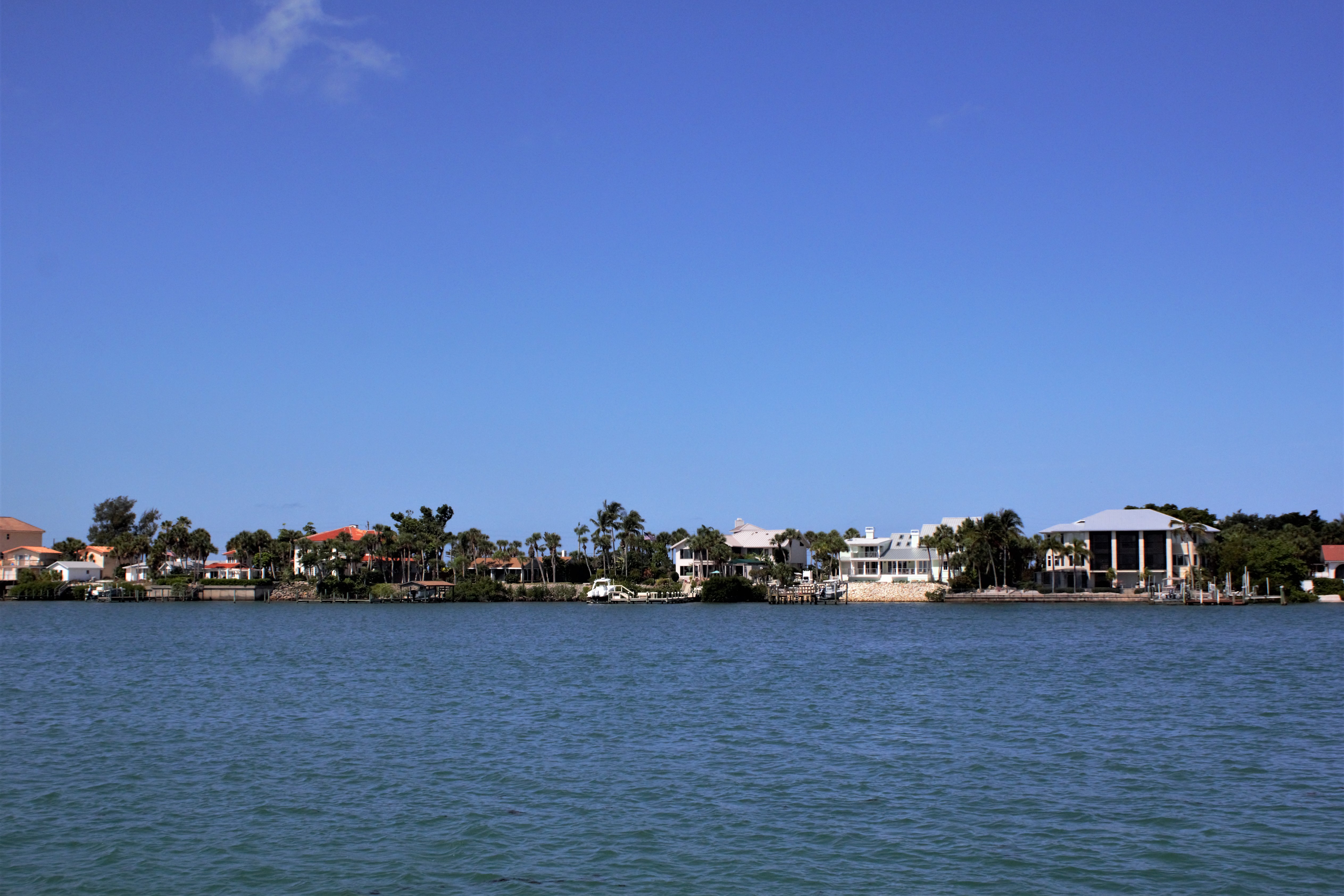
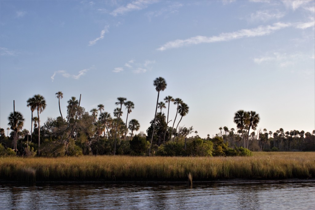
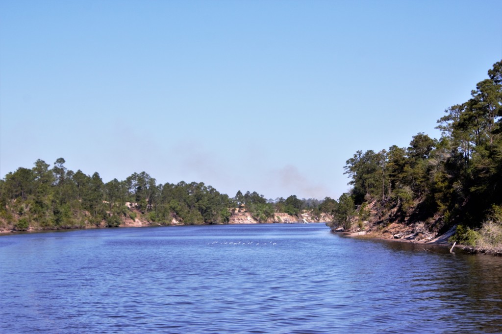
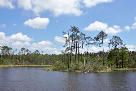
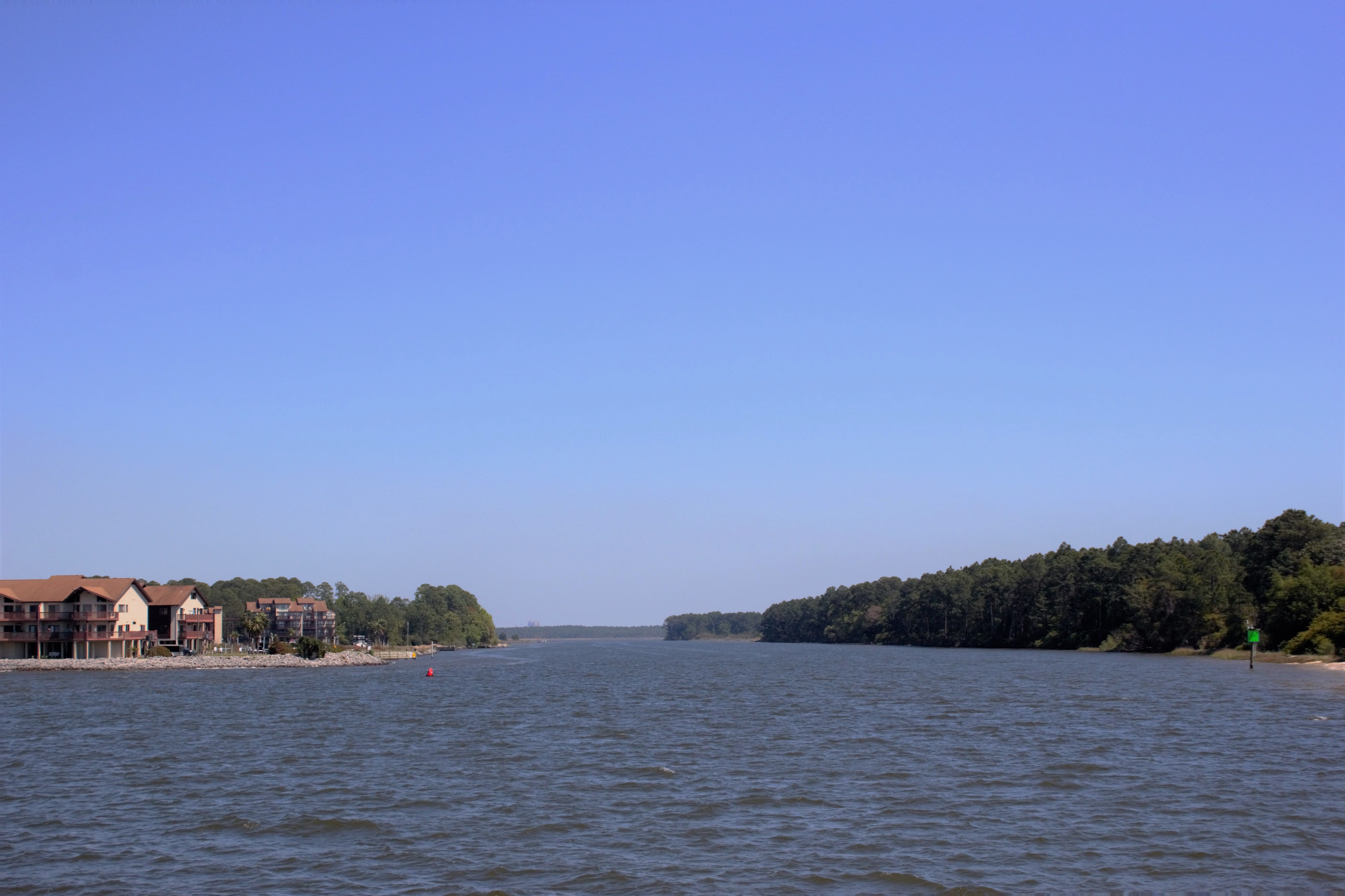
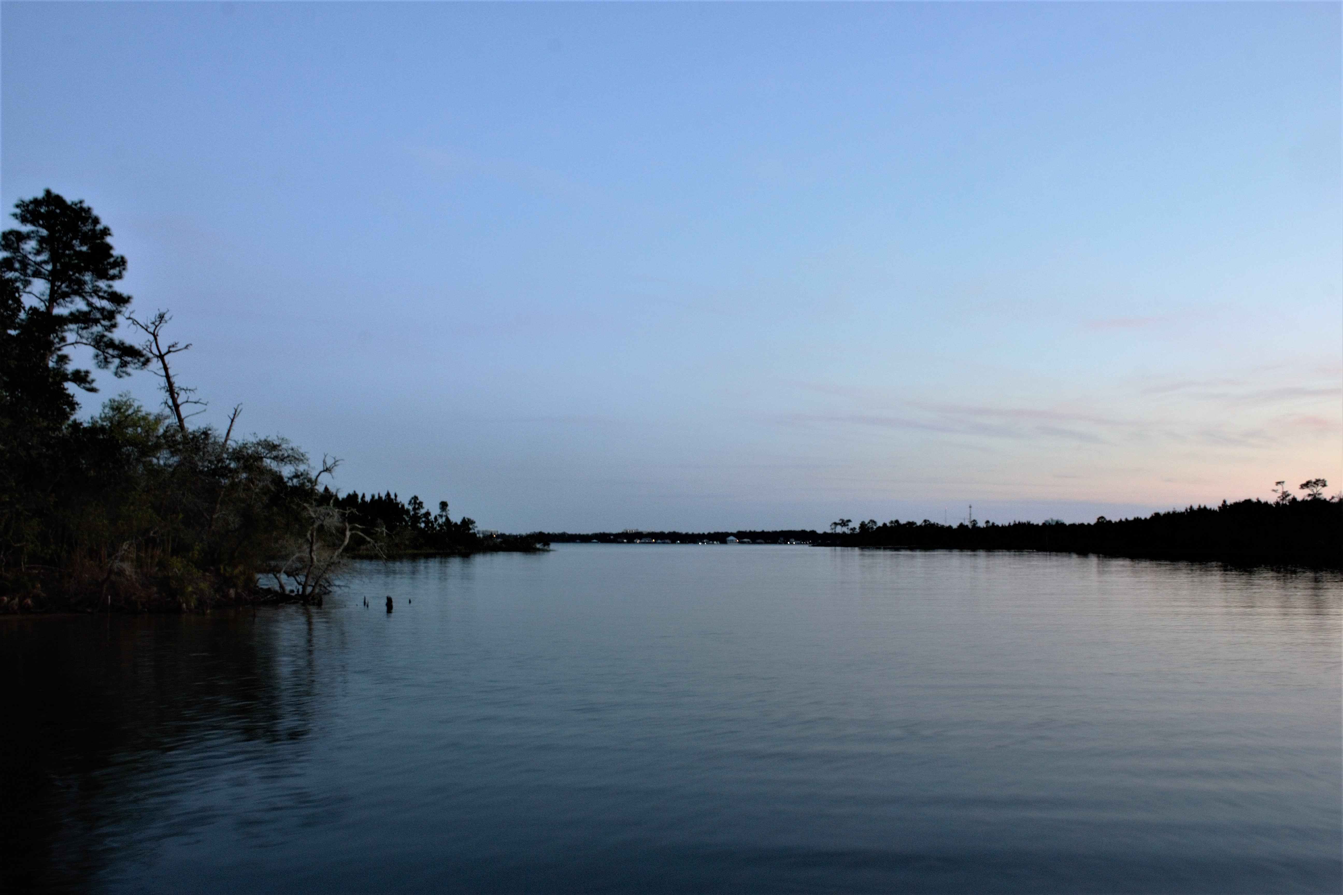
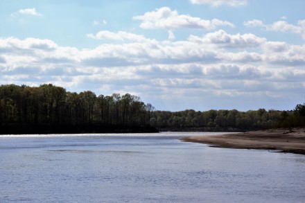
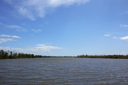
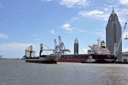
Barge on the Mississippi River
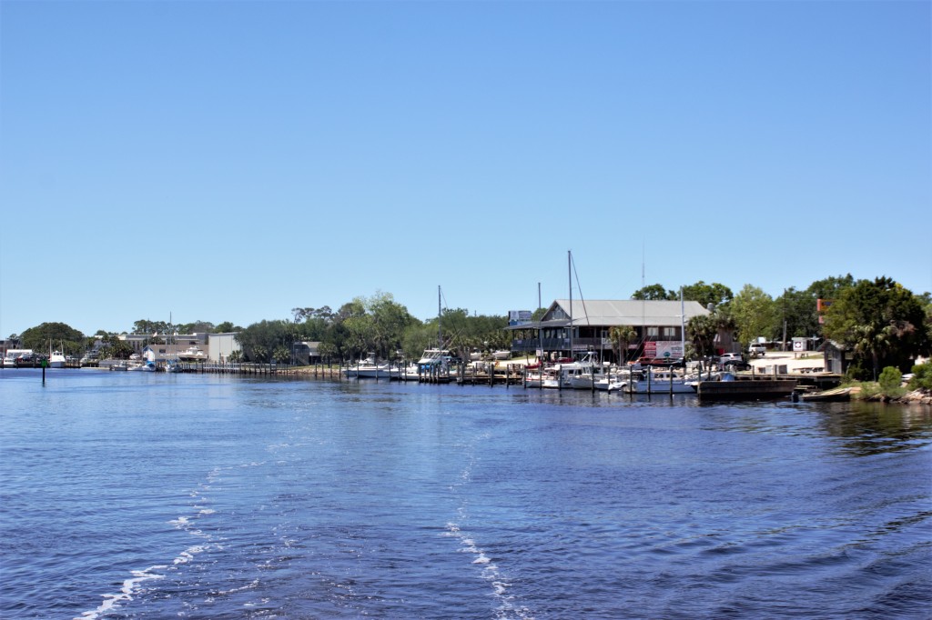
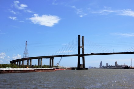
It felt quite exciting to be approaching New Orleans at last.

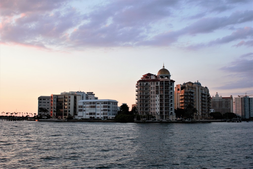
When we got there, it was warm, humid and cloudy. We ventured out into the French Quarter and wandered down to the river. It’s vast. And if we thought Ole Man River was tricky up near St Louis, we were just glad we hadn’t had to bring Carina down to New Orleans.

Riverfront, the French Quarter


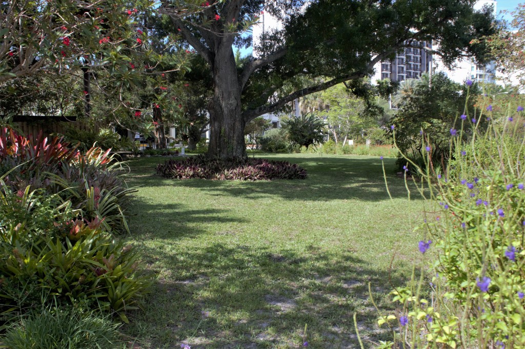
Garden behind the Cathedral Basilica of St Louis
We’d had some advice on where to go and what to do in New Orleans. A must-do was the Preservation Hall, where every night since 1961 there have been 4 45-minute concerts. So we walked to St Peter St and joined the long queue to get in – you can only buy tickets in advance for a few seats. We waited for 20 minutes, but were unlucky. The couple in front of us got in, but they were the last. The hall has a capacity of about 80 people. We could wait and be the first to be admitted to the next show, an hour later, or we could come back the next night.

In the queue for the Preservation Hall

It was too early to eat, so we went to Pat O’Brien’s next door and had cocktails in the patio garden , a Sazerac for Ian and a Hurricane for me. Mine had 4oz of rum in it and I could hardly walk afterwards.

Hurricane
We had quickly noticed that New Orleans has its own pronunciation of some words, with the emphasis being placed on the second syllable rather than the first. As in, New Orleans, not New Orleans. Our hotel was in Burgundy St, but the young man who took us back there from the Enterprise Car Hire place had corrected us. It’s Burgundy St, not Burgundy St.
This caused a sticky moment when we went for dinner at Gumbo Shop, down the road from Pat O’Brien’s on St Peter St.
Our pleasant waiter dutifully explained the daily specials to us. One of them came with rice and what sounded like pakarns.
‘Sorry, could you just say that last one again?’
He looked at us with well-practised patience: ‘It comes with rice and pakarns.’
We looked at each other and tried again.
‘Pakarns?’
‘Yes. Pakarns. Like small nuts.’
Light dawned, with some relief. He meant pecans. Or pakarns, as they’re obviously known in New Orleans.
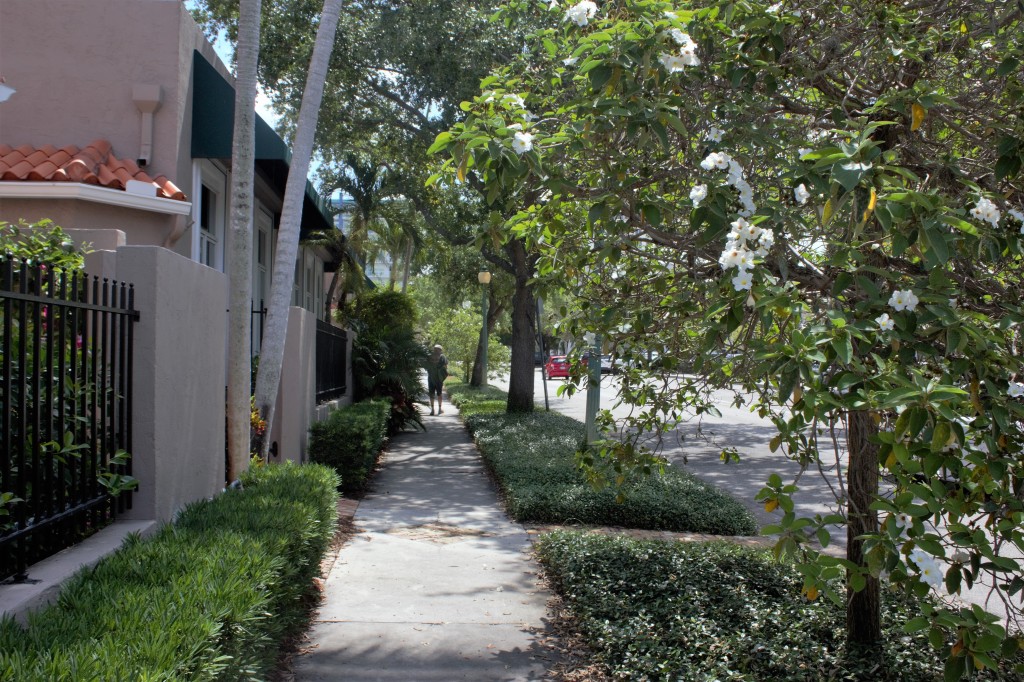
We stayed in the Hotel St Pierre in the French Quarter. Our room was in Gabriel Peyroux House, accessed from the main hotel across a narrow, plant-filled passageway. Peyroux house was built in 1780 and in 1965, Louis Armstrong stayed in the room next door to ours. The main hotel had a gracious ambience.

St Pierre Hotel and Peyroux House, Burgundy St
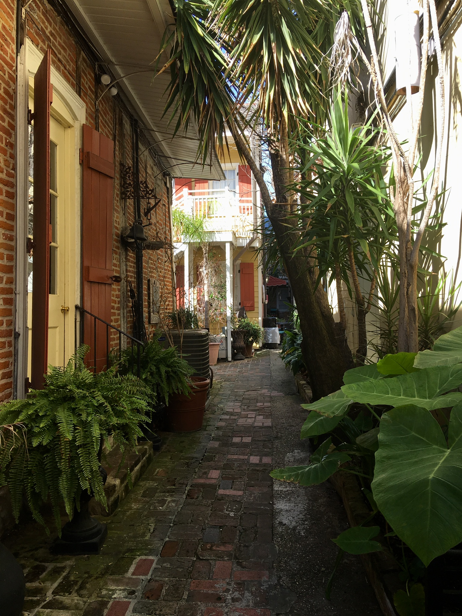
The passageway between the hotel and Peyroux House
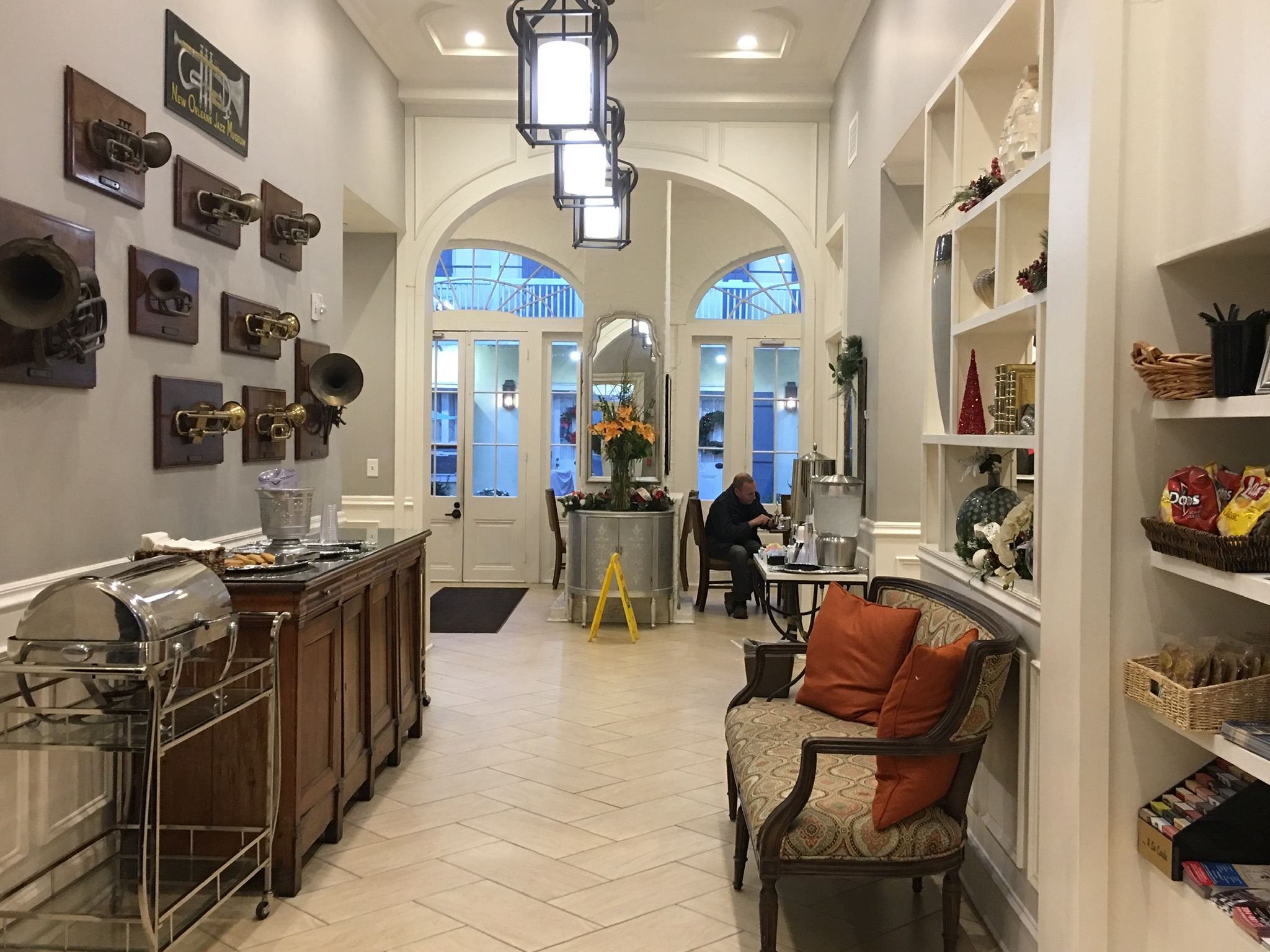
The hall and breakfast area
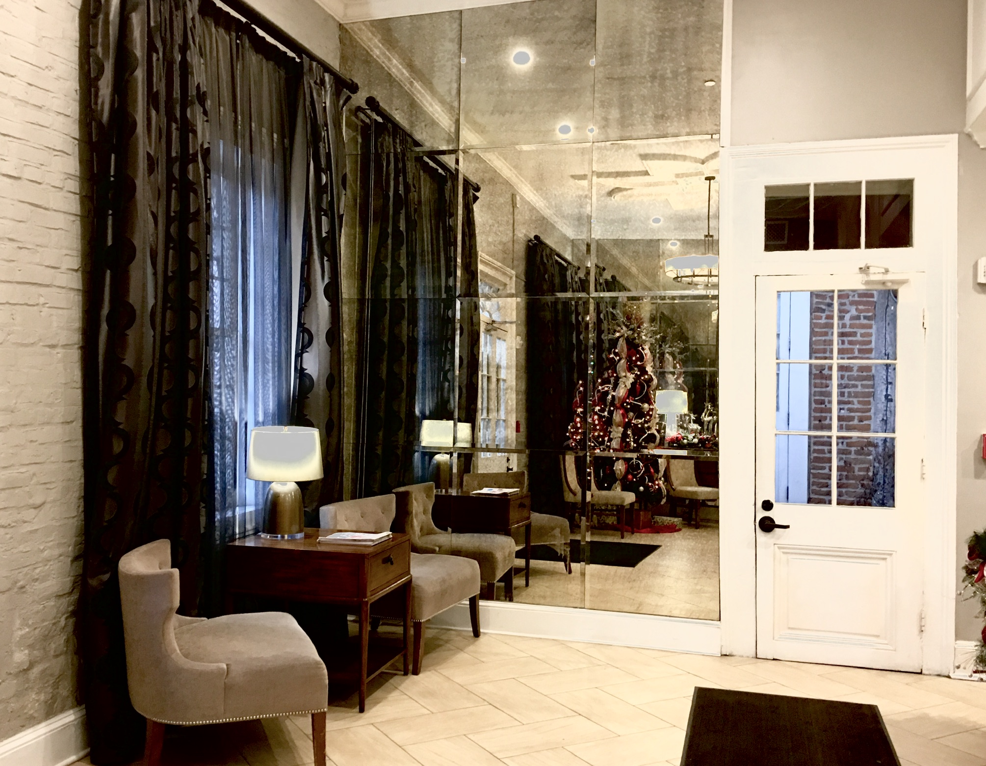
The lobby
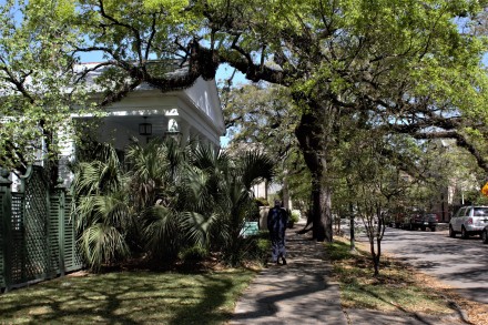
The next day, the weather had changed again and we had bright, but very cold, sunshine. We wanted to see more than the French Quarter and took the streetcar down the long, straight, tree-lined St Charles Avenue to the Garden District. This is where the elegant old houses and mansions were built in the American style, in contrast to the European influences in the French Quarter.
Ian had made sure, from the website, that you could get change on the streetcar. We needed 2 daily passes at $3 each. He proffered a $20 note. ‘We don’t give change.’ There was no arguing with her. The only way we could get change was to be given a token which we could subsequently use in the system. Since we were leaving the next day, that wasn’t going to work. We were obviously those irritating tourists. We had a $5 note. A lady behind us in the queue pressed some coins into Ian’s hand. The kindness of strangers, again.

Junction of Canal St and St Charles

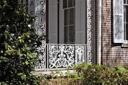
Garden District, New Orleans


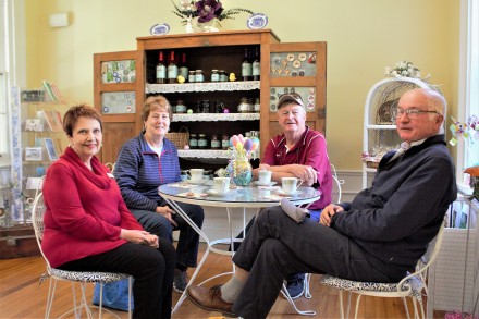
Coffee break in PJ’s, Magazine St
We wandered round the Garden District, marvelling at the grace and style of the houses. Then we went into Lafayette Cemetery on Prytania St. The lady in the hotel had told us it was a cool place to go, but I was a little surprised at how many other tourists were there. It was clearly a destination.


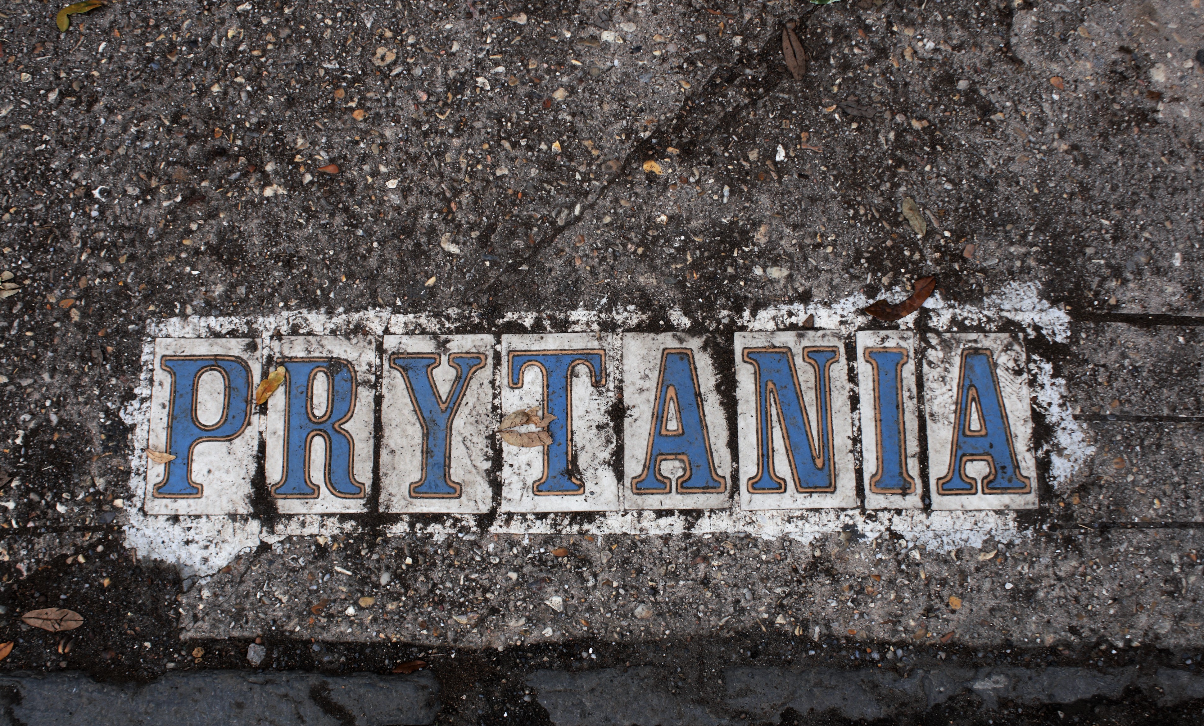
Tiled road signs

Waiting for the streetcar on St Charles

St Charles Avenue

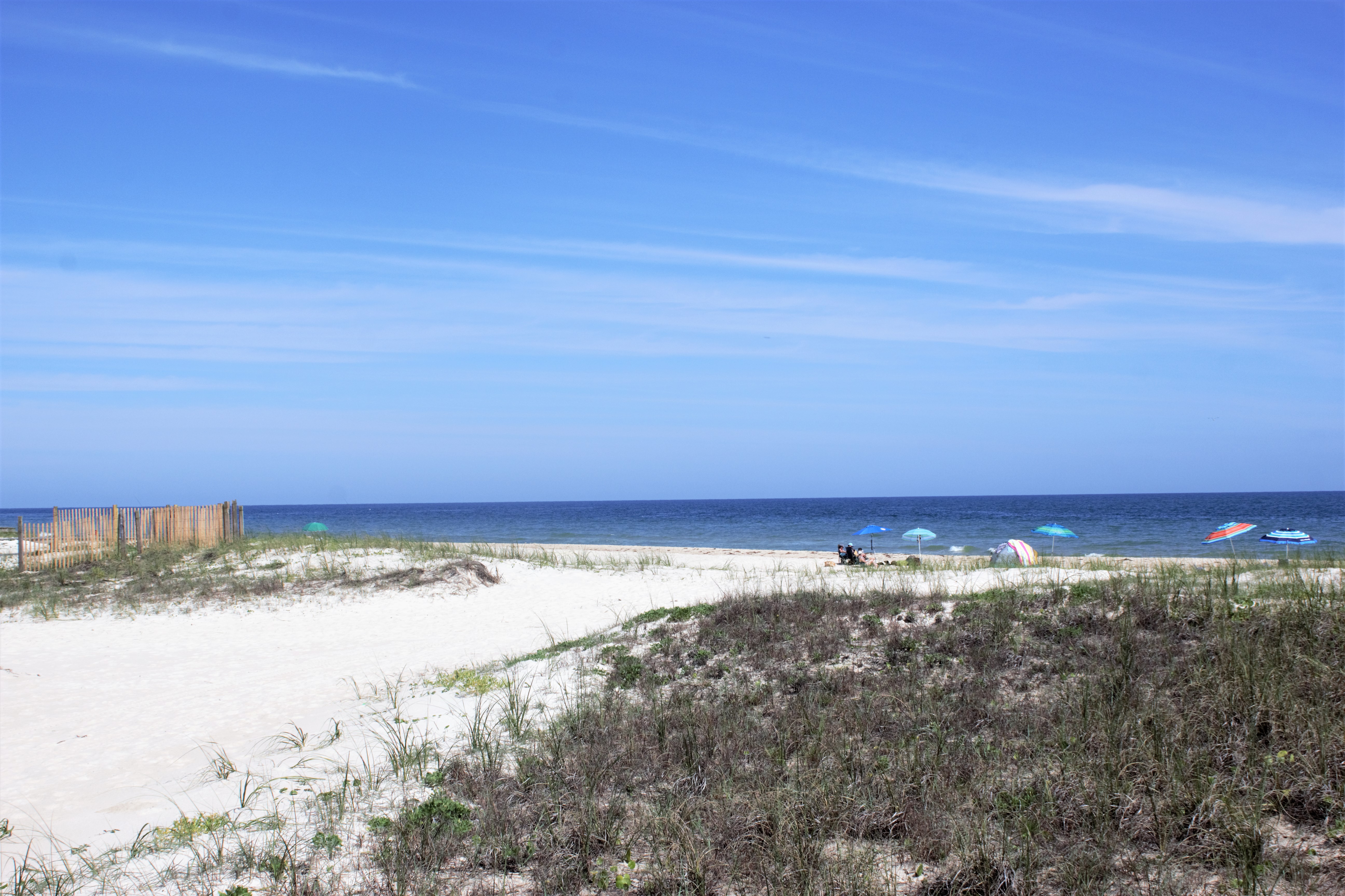
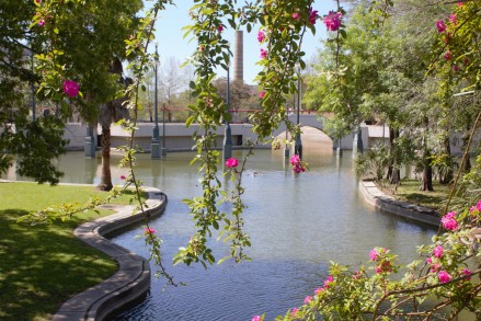
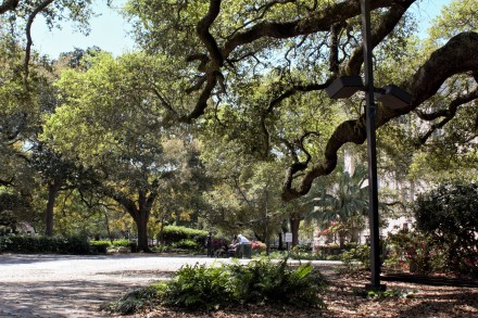
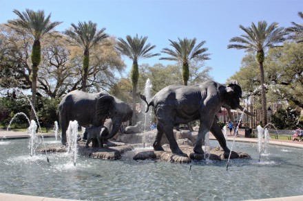
Audubon Park

Audubon Park


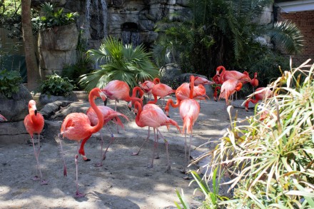
We went into Audubon Park with the intention of visiting the zoo, but found it was closed on Mondays, so had a brief look at the park and then went back to the hotel. Suitably revived with tea, we got in the queue again for Preservation Hall.
This time, our perseverance was rewarded.
The Preservation Hall is like nowhere else. Founded in 1961, its purpose is ‘to protect, preserve, and perpetuate Traditional New Orleans Jazz’. It doesn’t have a bar and you’re only allowed to take in bottles of water. Nor are you allowed to take photographs. There are only about 40 seats, and everyone else has to stand. The atmosphere was like a cross between a British village hall and, despite the lack of alcohol, an 18th century tavern. We listened to Leroy Jones and the Preservation Hall Jazz Band. It was unforgettable.
The British lady we had met in Columbus had recommended Mr B’s Bistro. We came upon it by chance and ate there. It was a bit more up market and expensive than the restaurants we usually frequent, but it was the last night of our trip. We convinced ourselves that we deserved it. Then we went on to the Spotted Cat on Frenchman.

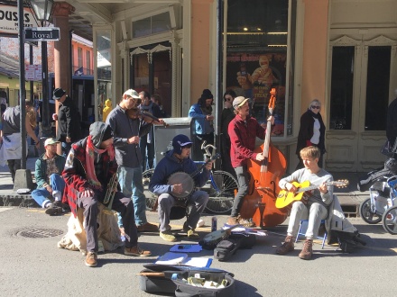
Royal St at night

Dominick Grillo at the Spotted Cat
We had a few hours in the French Quarter the next day before leaving for the airport. We’re looking forward to being back in the Spring!


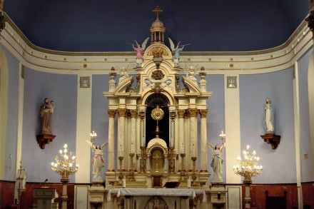
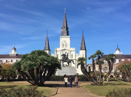
Jackson Square and the Cathedral Basilica of St Louis

The Cabildo

Corner of St Peter St and Chartres St

Jackson Square

Royal St

Latrobe Park

French Market